
Yikes, I thought. Fifty miles?
It was a little after 5am on a Thursday in mid-October and I’d just arrived at my friend Lawrence’s place in San Francisco. We were about to be picked up by David, a friend of Lawrence’s who’d suggested a four-day camping trip to the Lost Coast. Lawrence invited me to join, too, and I was happy to tag along. It’s a trip I’ve been wanting to take for years. But I assumed we’d be tackling the Lost Coast the same way most people do: hike the 25-mile trail one-way and then ride a shuttle back to our car. A little over six miles a day sounded very manageable.
“No,” said Lawrence as we gathered up our gear, “David doesn’t want to use the shuttle. He wants to hike both ways.”
Ha! What!? It was still early in the morning and I’m no mathematician, but it didn’t take my brain very long to realize that meant we’d need to cover 50 miles in four days. With heavy packs. Over sandy, rocky terrain that has been described as “tortured” and “severe.”
It’s possible the phrase “Bataan Death March” popped into my head.
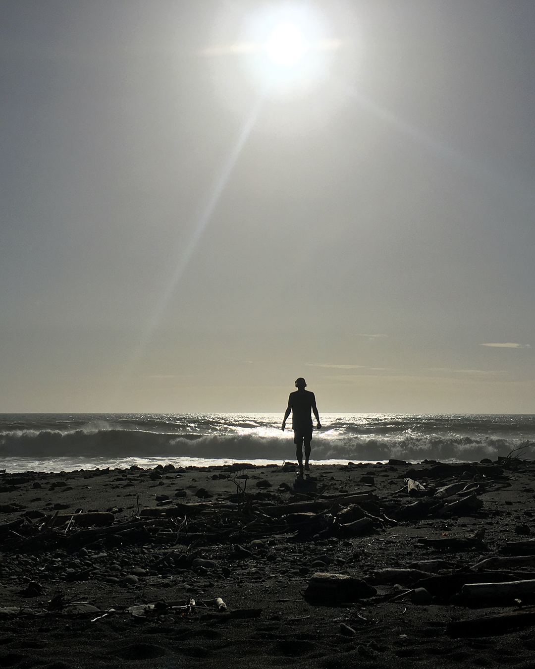
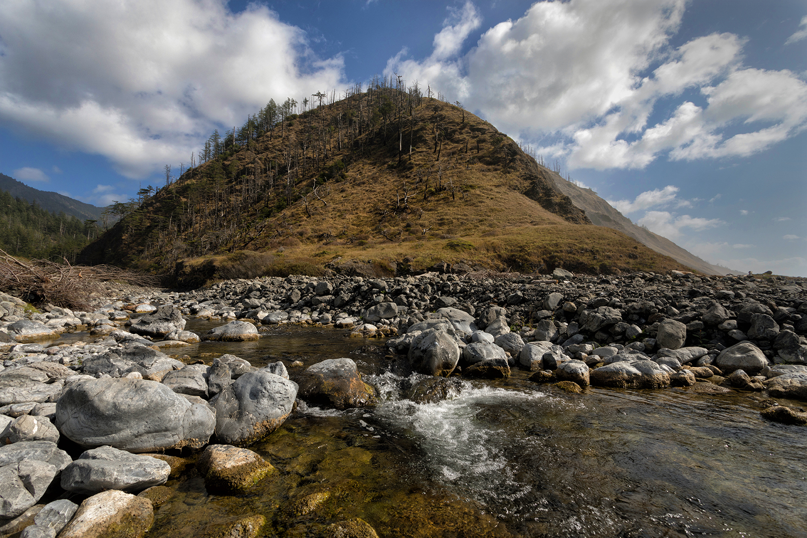
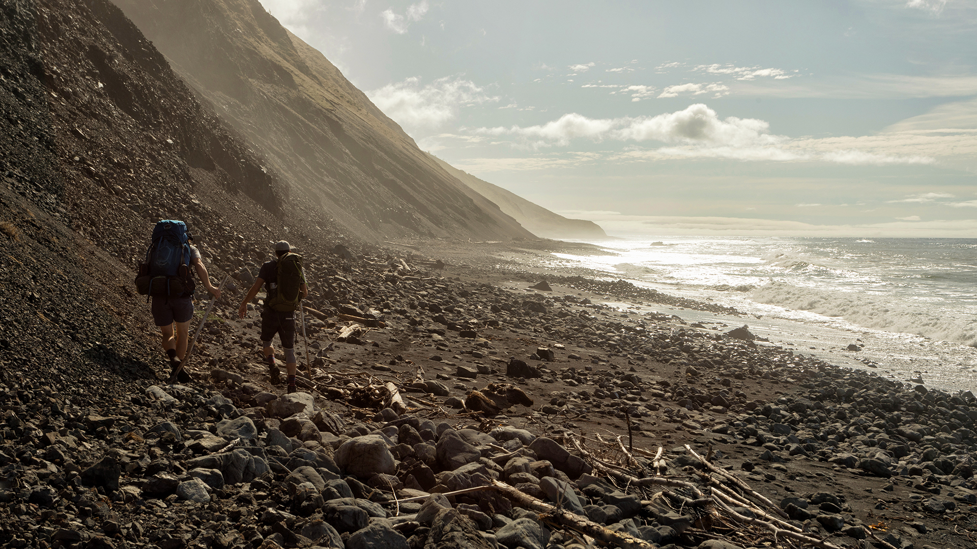
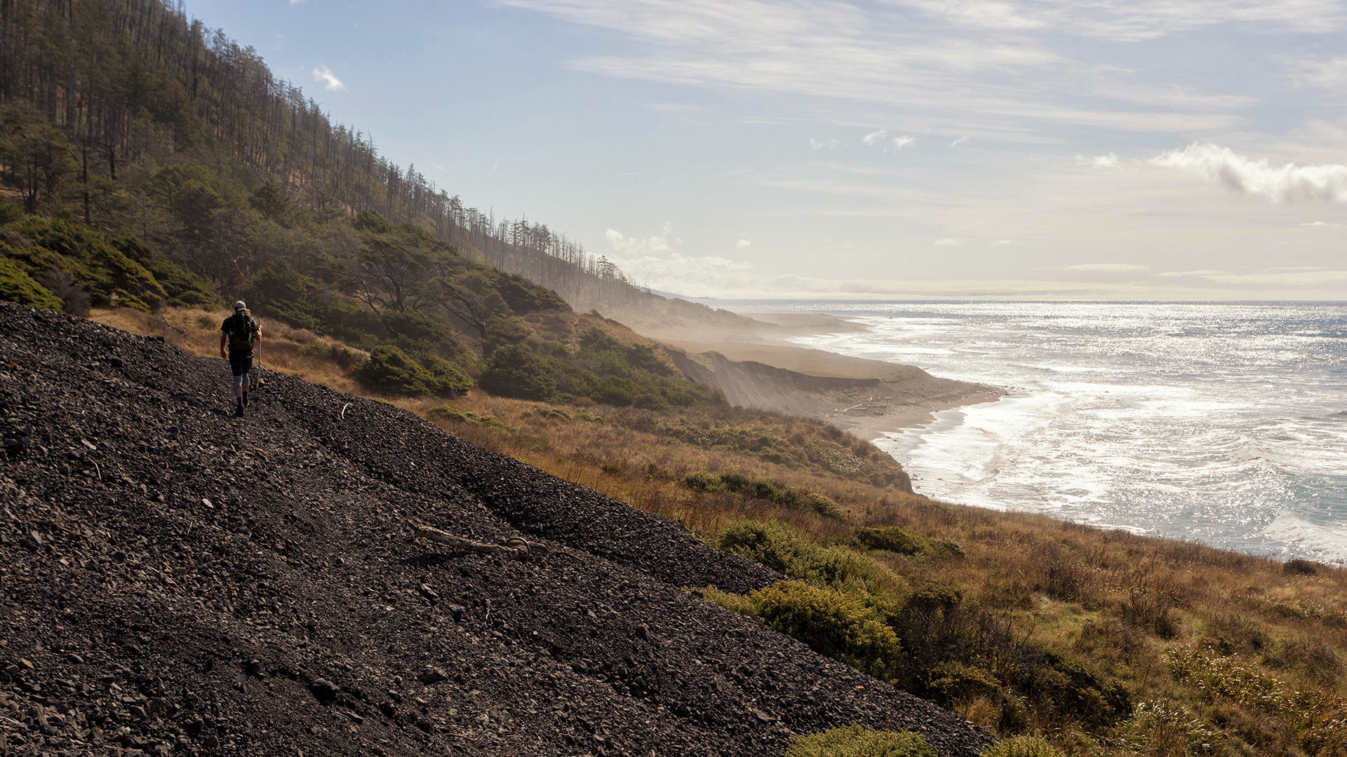
The Lost Coast is a stretch of the northern California shoreline that’s so rugged there are very few roads. State Route 1, a highway that hugs almost the entire coast of California, cuts inland at the Lost Coast and bypasses the whole area, leaving it mostly undeveloped and empty. The trail we planned to follow starts at Black Sands Beach in the small town of Shelter Cove and runs 25 miles north through the King Range Wilderness to Mattole. We’d mostly be hiking along the beach, sometimes on sand and sometimes on rocks, with long stretches that become “impassable” at high tide, when surprisingly large waves wash all the way up to steep cliffs that jut out towards the shore.
“There’s a low tide thing we need to time, right?” I texted a few days before the trip.
“Yes to the tide thing,” David replied. “I’ve done the Lost Coast a few times and we should avoid high tide during certain sections. Haven’t looked at a tide chart yet though. I’ll do that today.”
We left Lawrence’s place just after 5am, which let us beat Bay Area traffic and make it to the Black Sands Beach parking lot by 10am. The drive gave me a chance to start getting to know David, who I was meeting for the first time. “I’m more of a ‘Go with the flow’ type,” David commented after what must have been too many detail-oriented questions from me about our plans. He reassured us that he just wanted to have a good time and wasn’t set on any specific goals or timelines, which I appreciated.
In the parking lot we geared up, shouldered our packs, took a deep breath, and left our first footprints in the sand.


The rush of starting out and the beauty of the misty shoreline had me on a high for the first couple of miles. All too soon, though, potential trouble spots began popping up: my pack was digging into my hips, my toes were hitting the front of my boots, and with each step I felt a sharp pain shoot up from my right thigh. Nothing serious, I thought, but if cracks were appearing already then what would be happening at mile 40?
Of course we arrived at the first impassable area right around high tide. Given that we wanted to leave San Francisco early enough to beat traffic, the bad timing was almost unavoidable. We could have waited for the tide to recede, but then we’d have to hike in the dark to cover enough miles, and that seemed like a bad option.
So we started timing the waves. At particularly shallow stretches of the beach we’d wait until after a wave broke and then sprint as quickly as possible to the next safe spot. Occasionally we’d make a mistake and take a hit, yelling as the water spilled over the tops of our boots.
At one point Lawrence and I raced around a cliff and were waiting for David to join us. “I think I see David’s pack in the water,” Lawrence said, sounding alarmed. Crap, did that mean David was in the water too? We rushed back, only to find David and his pack dry and safe.
Time for water shoes, we decided. All three of us switched out our hiking boots for waterproof sandals, which made getting hit by waves much less stressful. But David and I had open sandals that quickly filled up with small, sharp rocks, adding an unpredictable degree of pain to each step.
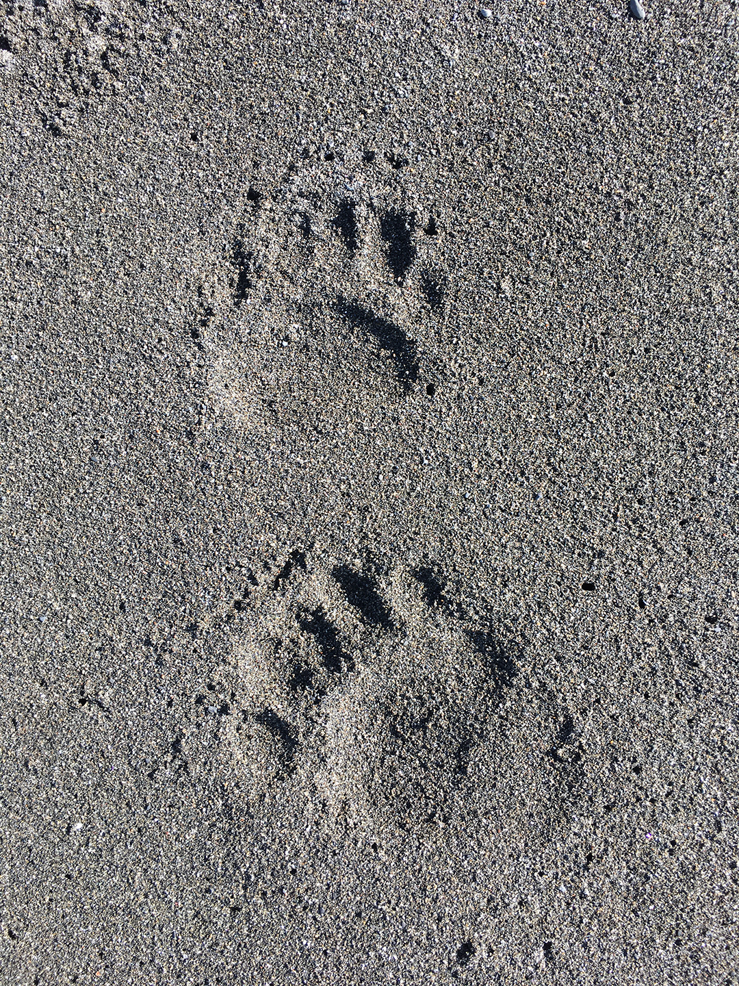
I was grateful that the only camera lens I’d brought was a relatively light wide angle lens instead of my heavy telephoto lenses. It meant I couldn’t zoom in for good photos of the wildlife – like the sea otters we frequently saw just offshore – but my pack weighed much less than it could have.
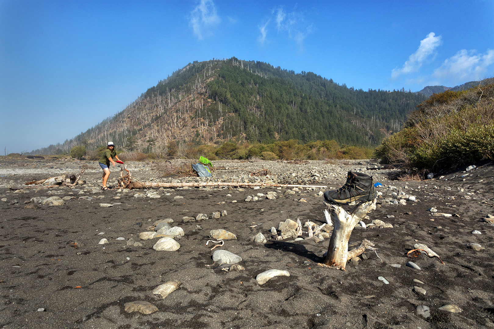
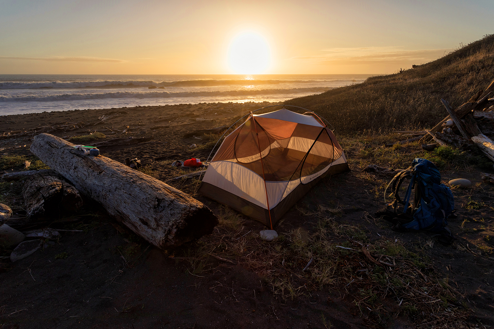
Every mile of impassable shoreline was exhausting. We were relieved to finally reach the Big Flat campsite, where we decided to spend the night. We’d covered 8.5 miles, and I, at least, didn’t have much gas left in the tank. All the wood in the area was wet, but David somehow managed to start a nice campfire. After a dinner of dehydrated turkey and a couple drinks around the fire I collapsed into my sleeping bag and was immediately out cold.

We didn’t emerge from our tents until well after sunrise. None of us seemed to be in a hurry to get going. “Frisbee golf?” asked Lawrence. Using a boot as our target, we improvised a few holes over Big Flat’s rocky landscape. David eventually won with a dead-on throw from 30 feet out.
Not until almost noon did we pack up and start hiking again. Nobody said anything, but our late start made it virtually impossible to hike all the way to the end and back. For me it was a relief. I’m not sure I could have done it.
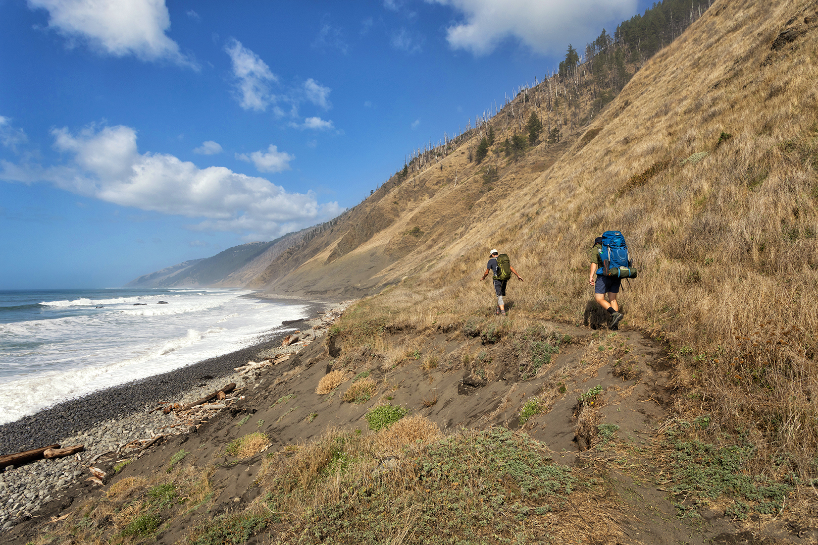
The next section of the trail was much easier, with a fairly long stretch of hard-packed dirt instead of sand and rocks. A new plan emerged: drop our packs at the Kinsey Creek campsite, hike as far beyond as we wanted, and then return to the campsite before dark.


Kinsey Creek was far enough for me. “You guys go ahead,” I said. “I’m just gonna stay here and read.”
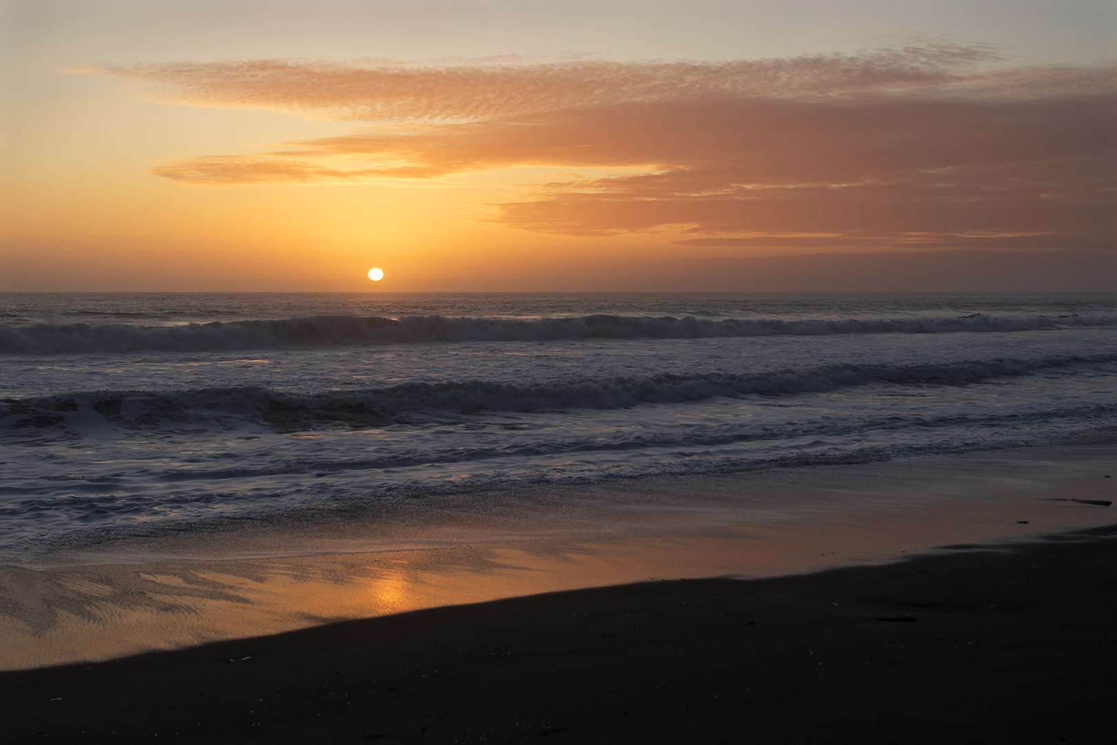
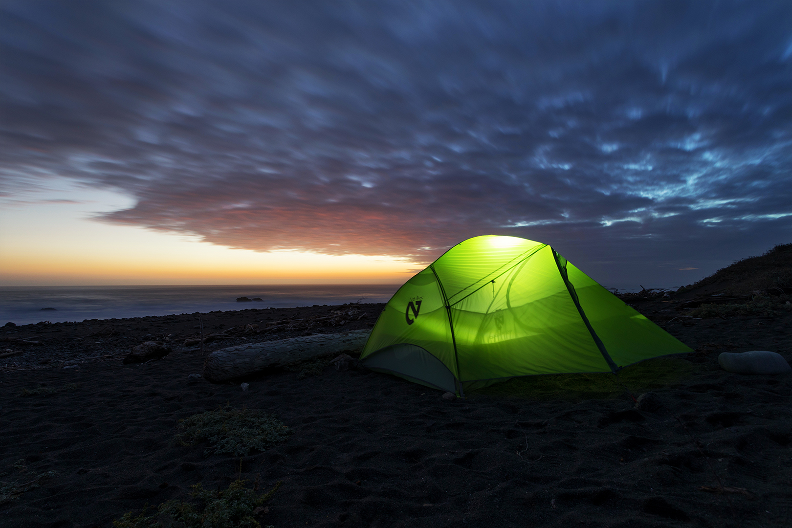
David had the same idea, but Lawrence continued on for another hour or so before returning to our tents. After some more Frisbee golf, a beautiful sunset, and another nice campfire, we fell asleep to the sound of waves crashing on the beach.

Our plan for Saturday was to hike back about eight miles to the Buck Creek campsite, leaving us just five and a half more miles to cover on Sunday. When we reached Shipman Creek, only about a mile from Buck Creek, we stopped to relax and wait for the tide to drop. At 4pm we continued on. “Hey Rob,” Lawrence said after walking with David for a while. “Here’s a crazy idea. How about hiking all the way out today?”
It sounded like David and Lawrence were motivated by the prospect of spending all of Sunday with their families. “Ha, OK, I’m up for trying,” I said. We’d likely be finishing in the dark, but the final section of the trail was relatively easy. So when we reached Buck Creek we just kept going.


David, who never seemed to get tired or sore, reached the Black Sands Beach parking lot at least a half hour before Lawrence and I finally limped to the finish line. I lagged behind Lawrence almost the whole way before catching up at the very end, as the last evening light faded from the beach. We covered 13.5 miles that day, but the fact that we hit the impassable stretch after high tide made it easier than I expected. My feet, legs, and back managed to hold up, but just barely.
What a fun, if grueling, trip. It was great to meet David and catch up with Lawrence. I think the two of them could have gone the full 50 miles if they’d wanted to, but 27 miles was just about right for me. If I could do it over again I’d choose to hike the full trail one-way – avoiding the impassable zones at high tide – and then just use the shuttle to return, but the approach we took definitely made it more of an adventure.

3 thoughts on “The Lost Coast, California”