
I left the bathroom of the McDonald’s in Jackson, Wyoming and returned to our table.
“Oh no Kroenert, you missed it!” Kevin announced, clearly delighted. “I’m so sorry!”
In the few minutes I was gone, Robbie had for some reason mentioned duck-billed platypuses, which inspired David to recite a list of platypus-related facts that included the line: “And did you know that platypuses are such primitive mammals that they don’t even have nipples?” As everyone laughed at such a quintessentially David moment, he went on to explain that female platypuses excrete milk directly through their skin.
Our trip was off to a solid start.
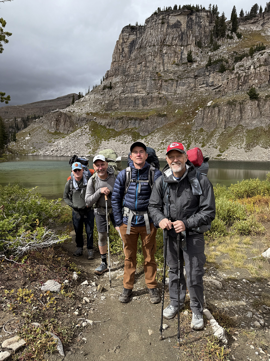
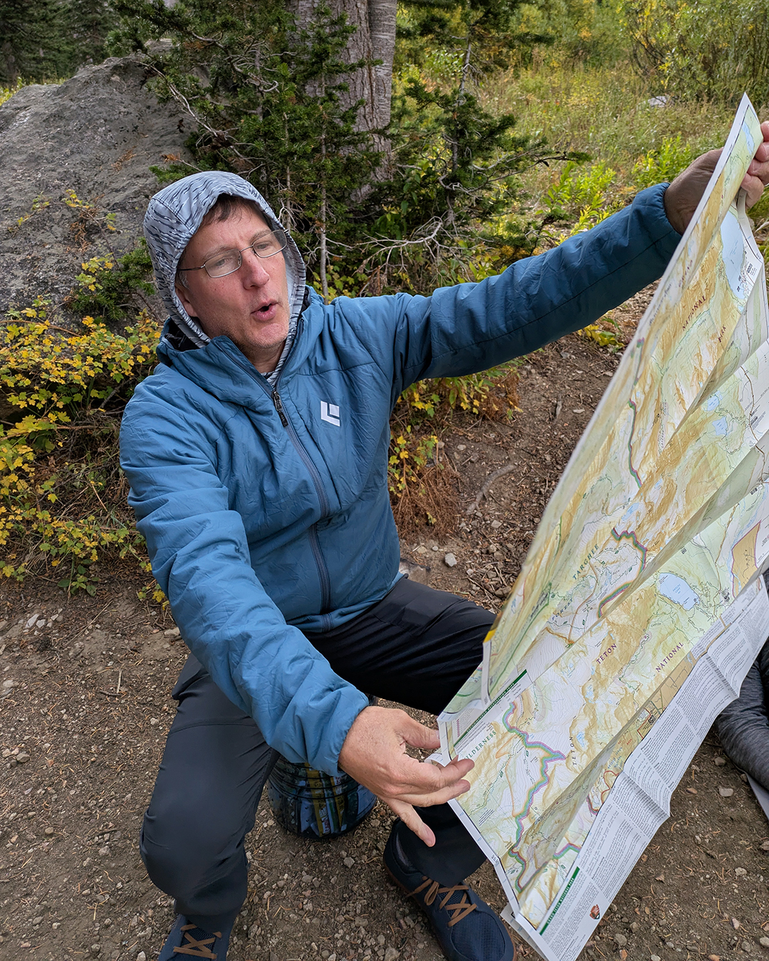
The five of us – me, Kevin, Robbie, David, and Gordon, all friends since high school – had met in Jackson the previous day for our fifth annual hiking trip. Back in 2021 we explored southern Utah, followed by Yosemite, the Lost Coast, and the Sneffels Traverse. This year we decided to tackle the Teton Crest Trail, a 40-something mile hike that wraps around the west side of Grand Teton National Park’s iconic mountains.
Here’s how it went:
Day 1 – Rendezvous Peak to Upper Granite (7-8 miles)
After our platypus-nipple breakfast at McDonald’s, we left our cars at Teton Village and rode the aerial tram up to Rendezvous Peak (10,927 feet), the starting point of our hike. Kevin still wasn’t completely comfortable taking the tram, unable to shake the feeling that we were cheating. But a friend of mine who’d done the hike before helped sell us on the tram by arguing that the main alternative (climbing five miles up Granite Canyon) wasn’t particularly scenic, which meant our energy would be better spent elsewhere.
At Rendezvous Peak we stopped for a second breakfast at Corbet’s Cabin, a quirky mountaintop shack that’s been serving waffles and coffee to hikers and skiers since 2008. An order of their traditional waffles is called the “Trad,” and – after some characteristically endearing banter from Robbie – one of the guys working behind the counter said, “We’re throwing in an extra Trad, because you guys seem rad.” Free waffles delivered with a rhyme? That could only be interpreted as another sign that our trip was off to a promising start.

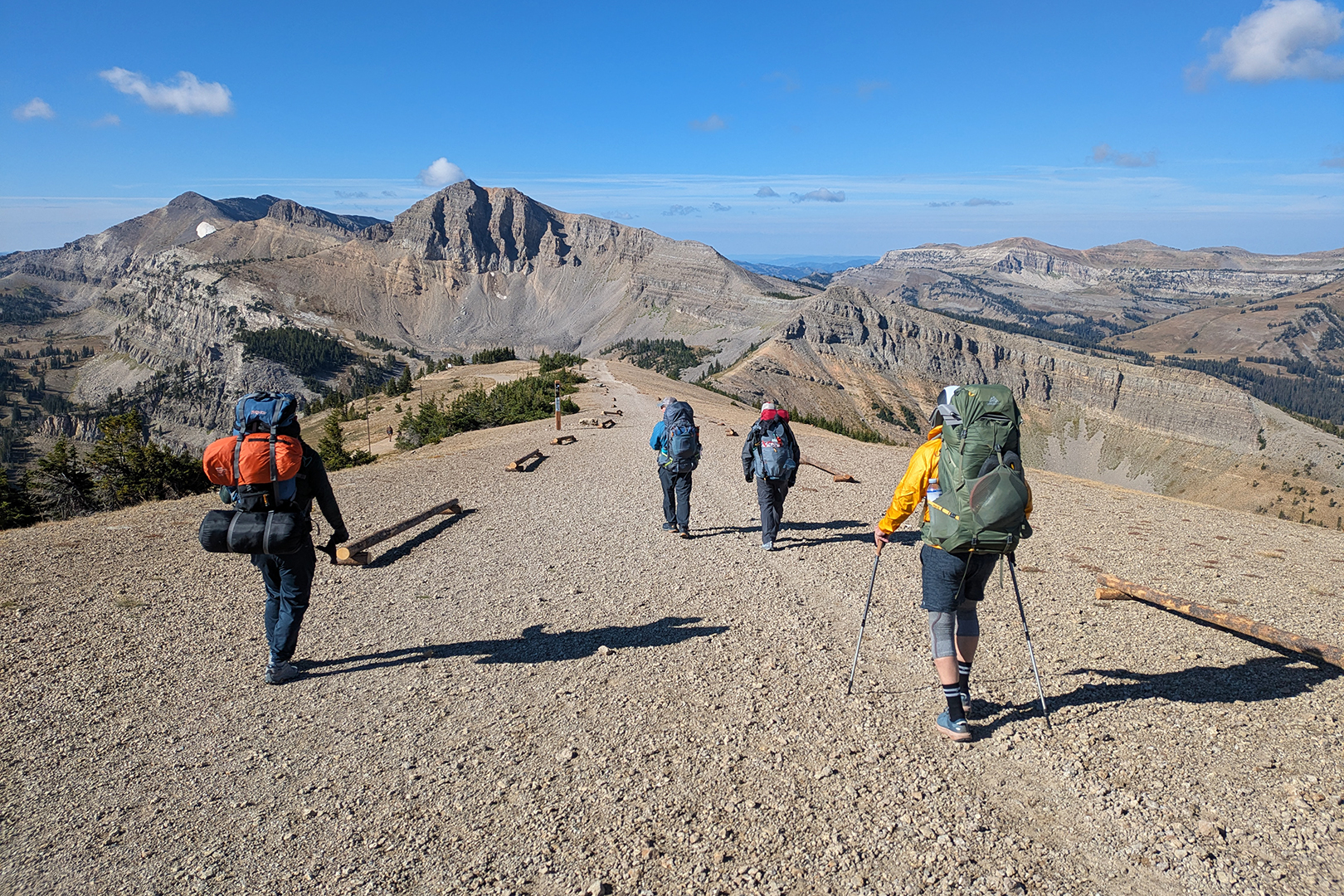
Our first day of hiking was relatively easy: not very far, mostly downhill, with cool temperatures and lots of sunshine. But eventually clouds rolled in, and by the time we stopped to set up our tents in the Upper Granite camping zone it looked like a storm was brewing. Overnight the storm hit hard, complete with thunder, lightning, and heavy rain. Unable to sleep through all the commotion, I channeled the movie Poltergeist and tried to track the storm’s proximity by counting the number of seconds between lighting flashes and the sound of thunder. At one point the thunder and lightning arrived simultaneously.

Day 2 – Upper Granite to Death Canyon Shelf (7-8 miles)
We woke to a wet, cold morning. It turned out I wasn’t the only one who remembered the Poltergeist trick. “I counted how many seconds it took to hear the thunder after each lighting flash,” Robbie said. “That storm passed right over us.”
We took our time eating breakfast and packing up and didn’t hit the trail until almost 10am. The weather seemed to change every 15 minutes. We cycled through rain, hail, sunshine, and snow. When we reached Death Canyon Shelf and started looking for a campsite, it was both sunny and snowing.


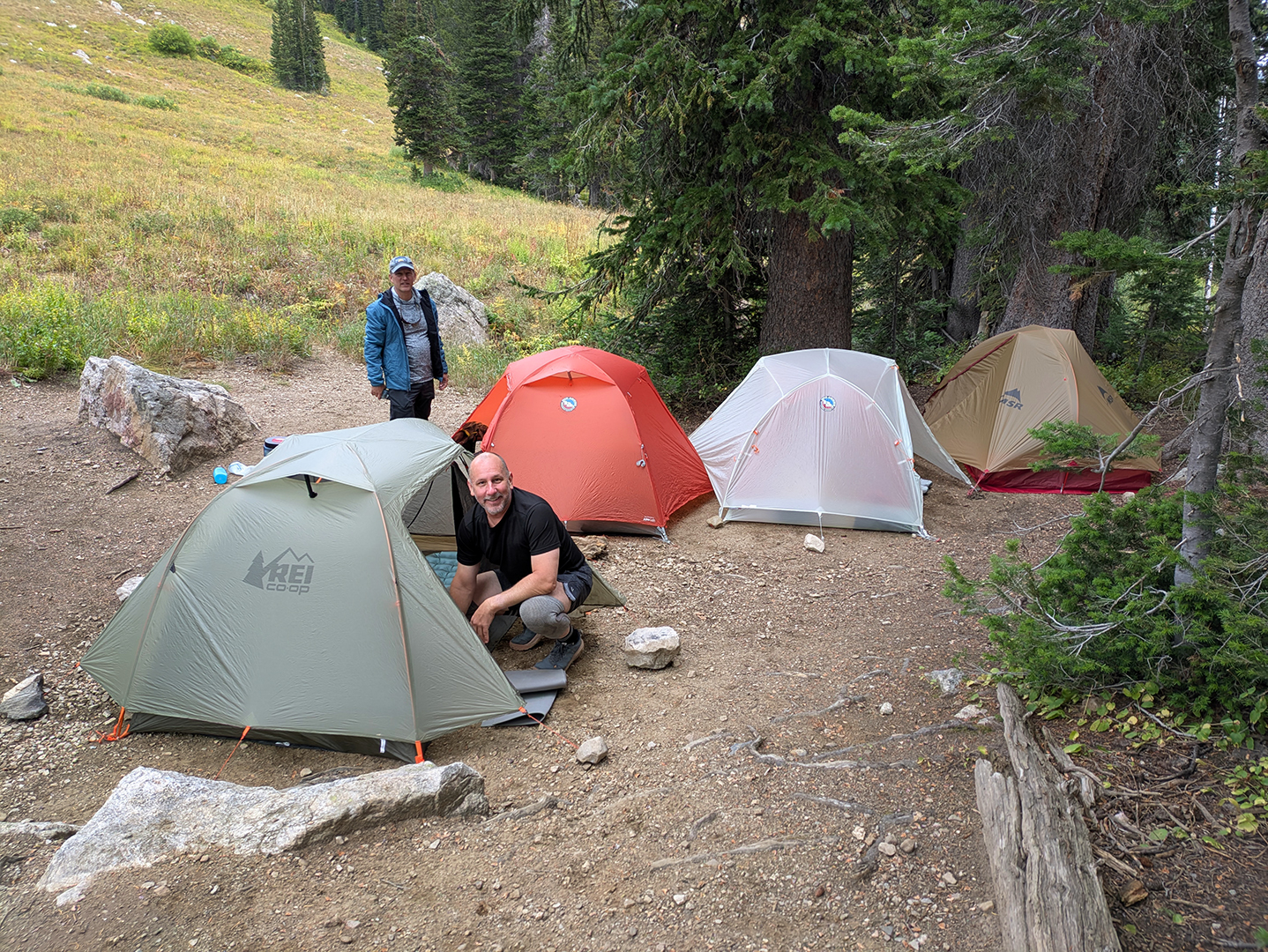
We briefly considered squatting at an unoccupied Group campsite, which technically would have been against the rules, but instead we chose a decent area nearby where we wouldn’t risk being kicked out after pitching our tents.
That evening two other hikers set up their camp close to ours, and one of them walked over to say hello. Anton, a Canadian living in New York, said he and his friend rode up on the tram that morning. Anton left but returned just a little later to ask for some help. “Yeah, so,” he began, “uh, my friend and I, we just got a little surprise, you know, like we brought our dehydrated food, but, uh, we just looked into our packs and realized we forgot to bring our stove, yeah, and also a heat source…” Yikes. He was hoping we could boil water for them, which we were happy to do. “Oh, uh, and also,” Anton said before returning to his camp, “could we borrow spoons?”
We had our first good wildlife sighting that afternoon – a group of at least nine bighorn sheep, females and juveniles, slowly making their way along the shelf. I’d been told by a ranger that porcupines would almost certainly approach our tents at night and gnaw on anything left out, but we never managed to spot one.
Day 3 – Death Canyon Shelf to Sunset Lake (6 miles)
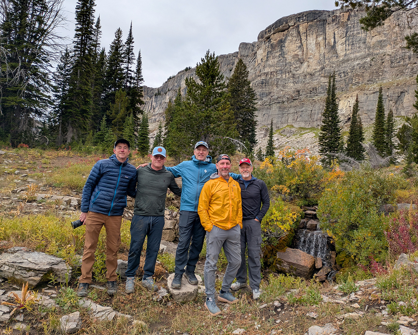
Again we started slowly. With only about six miles to cover, there was no reason to rush. Before heading out we stopped briefly at an unusual little waterfall near our campsite that cascaded into a sinkhole before vanishing underground.


Kevin, clearly the fittest of our group, raced over Mt. Meek Pass (9,726 feet) to our next campsite at Sunset Lake and still had enough energy for a solo six-mile side hike before dinner. The rest of us straggled in, explored the area around the lake, talked to father-and-son cowboys on horseback, and got a good look at a red fox hunting pikas on the surrounding rock piles.

That afternoon the temperature dropped and the wind picked up. After dinner it started to rain, sending me to hide in my tent. A little later I heard multiple rounds of loud laughter coming from the other guys. I knew I must have missed some good comedy, but I was too lazy to layer back up and face the freezing wind again.
Day 4 – Sunset Lake to North Fork Cascade Canyon (9 miles)
Over coffee the next morning I learned what I’d missed. The previous night’s rain hadn’t lasted long, and as the sun set David noticed that the western mountain range looked like the silhouette of a person lying down. Gordon pointed out that the silhouette-person had a prominent nose, which prompted Robbie to recline on a rock and almost perfectly mirror the mountain range with his own profile. First I missed platypus nipples, and now this?! I was forced to question all my choices.

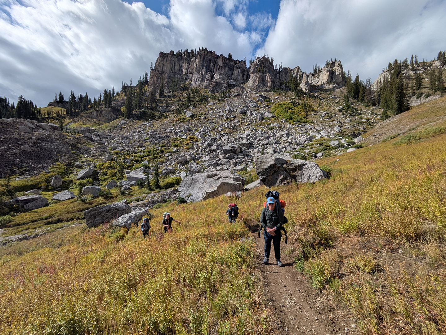
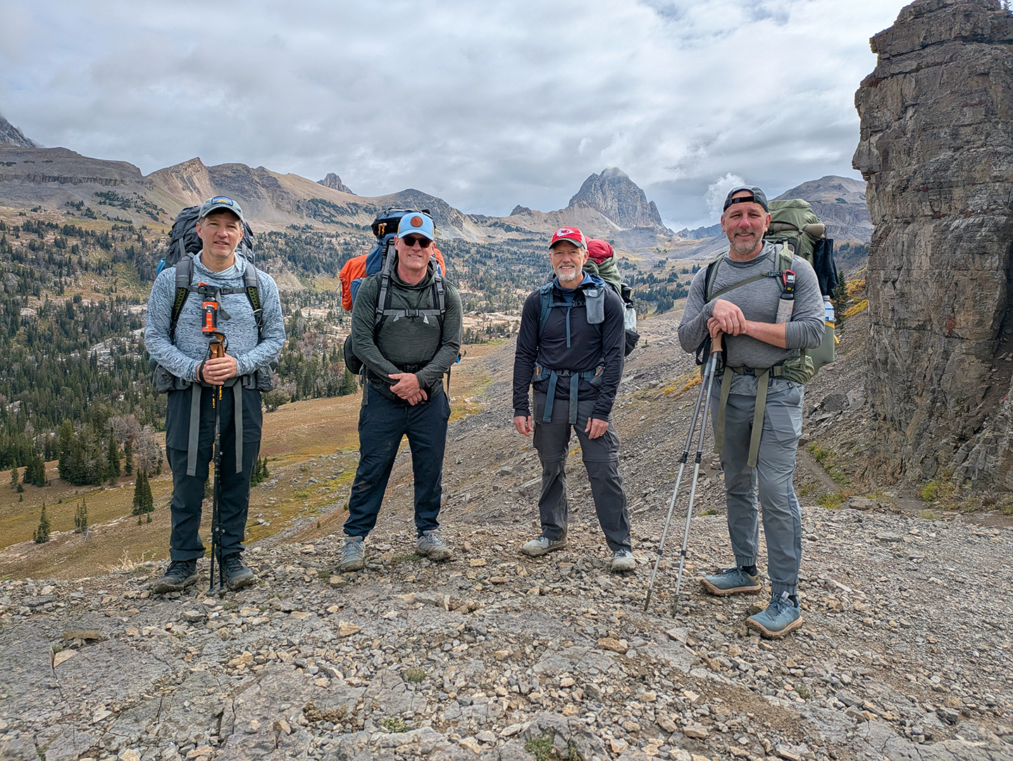
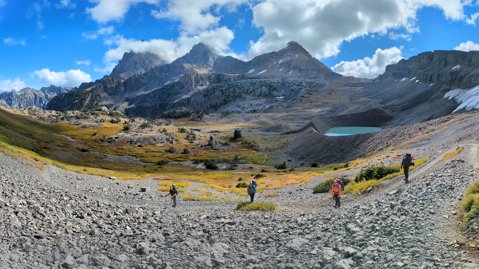
We began our fourth day’s hike under bright sunshine, marking a significant improvement in the weather that lasted for the rest of our trip. A couple hours of uphill trudging brought us to Hurricane Pass (10,338 feet) and provided our first clear views of the eastern side of the Teton’s highest peaks.

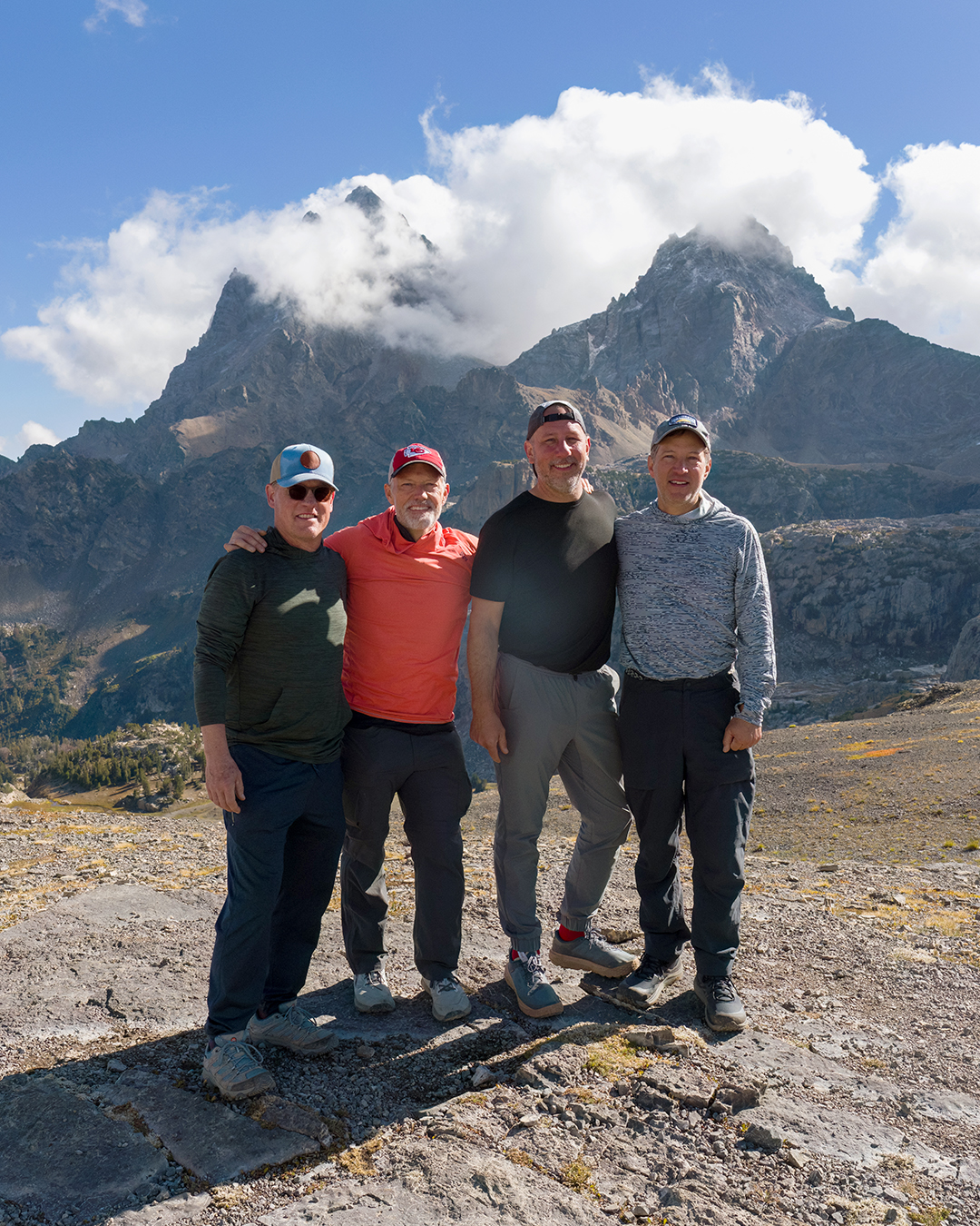


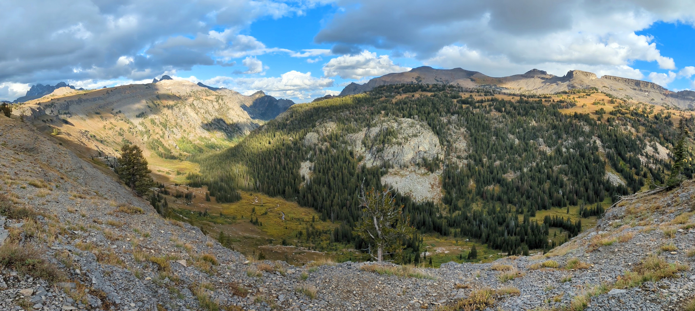
The trail from Hurricane Pass down through the South Fork of Cascade Canyon might have been the most scenic stretch of our hike. We passed from rocky, desolate scree fields above the treeline into a lush valley of yellow-green willows, conifers, and meandering streams. Teewinot, Mount Owen, and the Tetons towered over us.


I picked up my pace going downhill and stopped at a trail junction to wait for the others. “Sorry,” Kevin said when he and the rest of the group caught up, “we were watching that moose.”
“What moose?”
Apparently a bull moose had been grazing right beside the trail, “uncomfortably close” according to Kevin. I was so focused on not tripping that I must have hiked right past it.

Our final miles of the day were an uphill climb through the North Fork of Cascade Canyon. We reached the end of the camping zone before finding a good site and thought we’d have to backtrack, but a group of other hikers was kind enough to alert us to some decent spots near them. In return for choosing slightly-less-than-level ground, Robbie, Kevin and Gordon were rewarded with spectacular views of the Tetons from their tents. That evening we spotted a black bear, the first of our trip, ambling along the other side of the valley, too far for photos but still fun to see.


Day 5 – North Fork Cascade Canyon to String Lake Trailhead (11 miles)
We woke to a layer of frost on our tents and ice in our water bottles, but the sky was cloudless once again and temperatures rose quickly as soon as the sun cleared the mountains. It was our final day of hiking, and also our longest. We’d booked a shuttle to meet us at the String Lake trailhead at 4:30pm, and David was doing his best to hurry up our normally slow morning routine so that we wouldn’t be late (“I need a buffer!”).
David’s efforts succeeded in spurring us to a relatively early start, beginning with the long uphill slog to Paintbrush Divide. “What do you know about Hannibal and Carthage?” David asked Kevin before launching into the story of the Punic Wars (and then Alexander the Great and Julius Caesar) to help pass the time.

Robbie, who’d been dealing with plantar fasciitis, struggled to move at his normal pace but never complained as he powered through mile after mile.

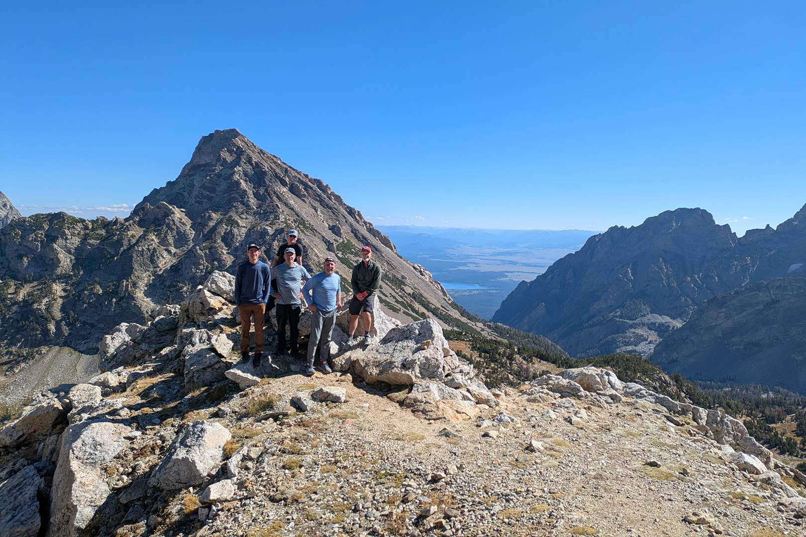
Finally we arrived at Paintbrush Divide (10,720 feet), where we stopped to take photos and celebrate the fact that the rest of our hike would be downhill.

Kevin and I reached what we thought was the String Lake Trailhead parking lot at 3:45pm, but – when 4:30 neared and nobody else had shown up yet – we realized we must be at the wrong spot. So we made the short walk to a different parking lot and found the rest of the group, who said they’d cut it so close that they basically had to run the last mile.
We all groaned from our various aches and pains as we loaded our packs into the shuttle. Our shuttle driver, Alex, had an Eastern European accent. “Where are you from?” David asked.
“Moldova,” Alex said.
We turned expectantly to David, who knew it was time to shine. “Moldova borders Ukraine and Romania, and is on the Black Sea,” he said. “And you declared independence from Russia in what, 1992?”
“Yes!” Alex said, genuinely startled.
“What about Moldova’s flag?” I prompted David.
“Um, let’s see… Blue, yellow, and red?” he asked. “With some kind of symbol on it?”
“That is correct!” Alex confirmed.
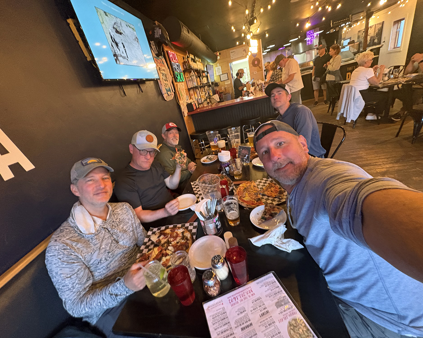
We retrieved our cars and – despite the dirt and stink of five days on the trail – decided to head straight for pizza and beer in Jackson. It was the right call (for us, at least, maybe not for the people sitting nearby).
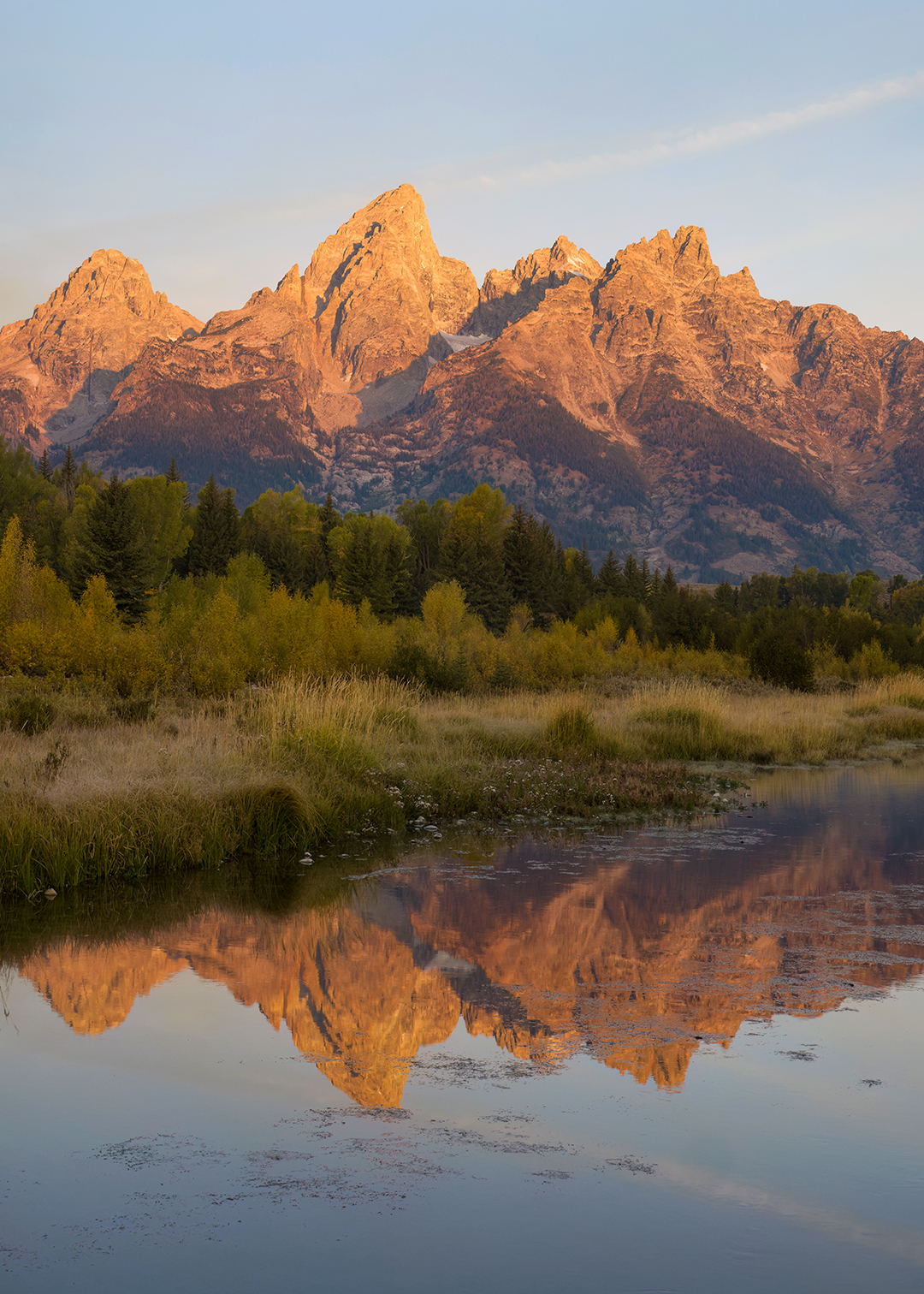
I thought for sure I’d sleep late the next morning, but I woke up well before dawn and snuck out for sunrise photos at Schwabacher Landing, a famous viewpoint of the Tetons that I’d somehow missed on previous visits. Later that morning Kevin fixed an amazing breakfast, and that afternoon we did a leisurely hike to Taggart Lake.

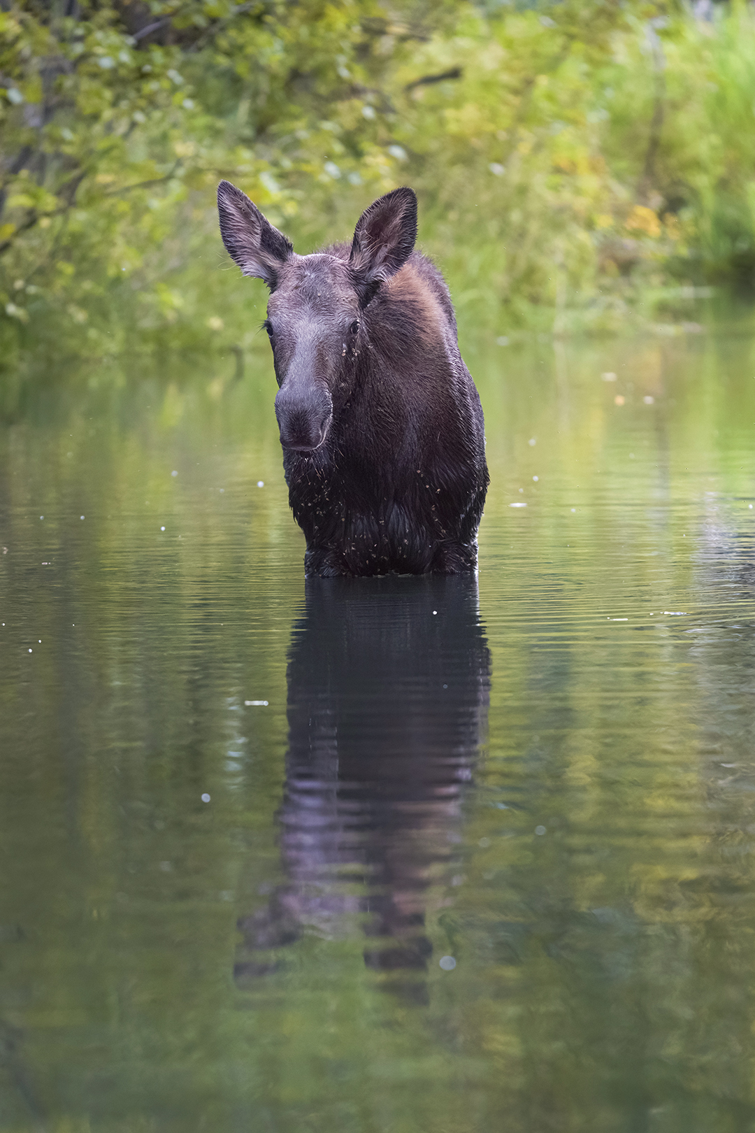
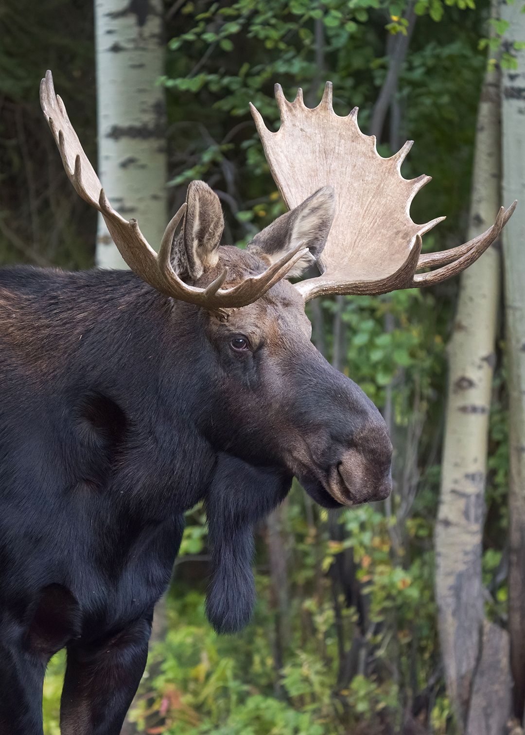
Three moose – a cow, a calf, and a huge bull – had been hanging around our airbnb in Wilson, and when we returned from our hike all three of them were right next to the parking lot. They put on a show for hours.

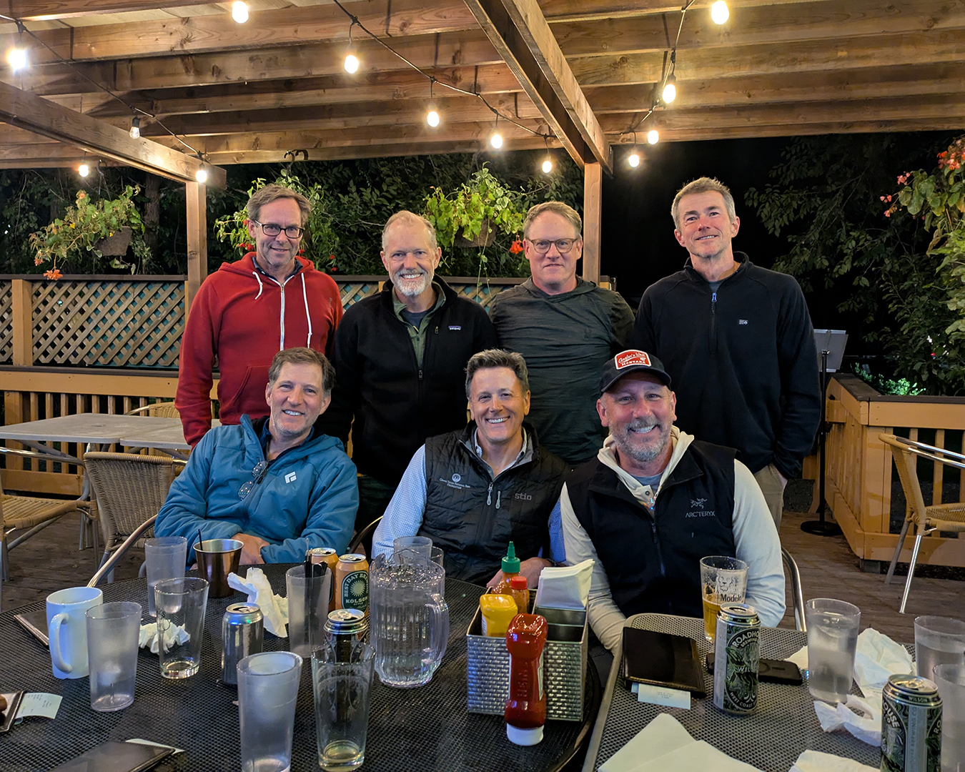
Two guys who also went to high school with us, Mark and Neil, are longtime Jackson residents, and Robbie invited them to meet us for dinner that night. We had a great time catching up. Mark was familiar with Silver Gate and expressed real shock that I lived there. More than once during dinner he turned to me and repeated, “I still can’t believe you live in Silver Gate.”
I woke up early again the next morning, the last of our trip, and this time everyone except David joined me for another round of sunrise photos at Schwabacher Landing. From there I continued home to Silver Gate, and the rest of the guys flew back to Kansas City (and St. Louis) that afternoon.

I’m so thankful we’ve been able to do these annual hiking trips for half a decade now. Hanging out with such good friends is the main draw, of course, but it’s awesome across the board. We spend time outdoors, we get to see amazing places, and knowing that we’ll be doing a challenging hike every year means that we all have to keep ourselves in reasonable shape. I hope we’re still going just as strong after another five years.
A few final observations:
There’s no question that Robbie’s fashion game was several levels above the rest of us. When confronted with such refined-yet-rugged chicness, it seems fair to wonder if some sort of hired professional was involved in coordinating his outfits.

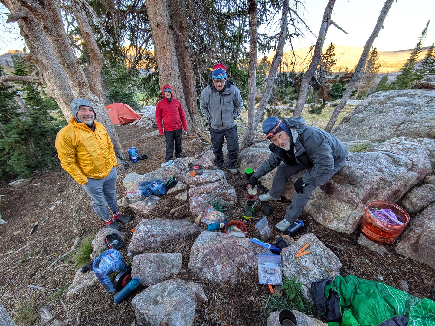
It would be a tremendous oversight not to thank Kevin for the unique role he plays on our hikes. Kevin always packs and carries everything we need for good coffee, and every morning he brews enough to keep us all fully caffeinated. On top of that he carries and prepares instant mashed potatoes for us every night, providing extra calories that we all now take for granted. Kevin is our annual hiking trip’s perennial MVP.

I’m disappointed to report that David seems to have engaged in questionable practices before our trip. “How long did you do weighted-backpack hikes to train for Teton Crest?” I asked him.
“About six or seven months,” he said.
“You trained for six or seven months!?” I sputtered. “That’s cheating!”
In his defense, David pointed out that living at high altitude (Silver Gate is at 7,400 feet) could also be considered cheating. And I must admit that David’s spryness on this trip was second only to Kevin’s (resulting no doubt from the illicitly excessive training).
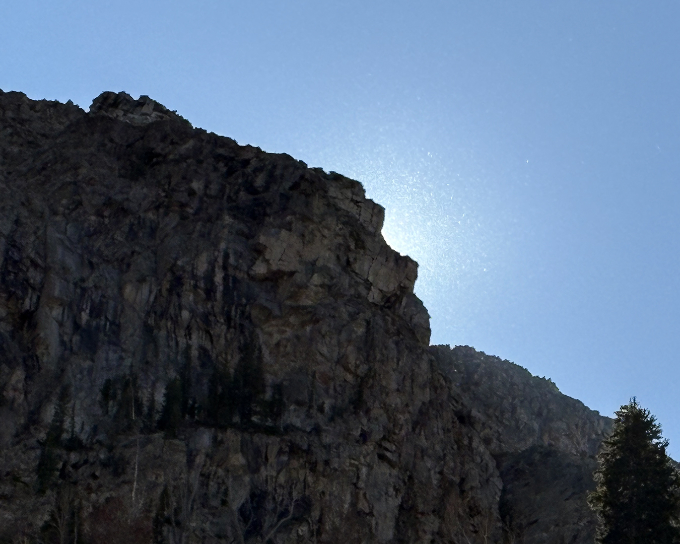
Gordon often noticed subtle things that the rest of us missed. As we hiked up the North Fork of Cascade Canyon, for instance, Gordon pointed out a strange phenomenon at the top of a mountain, where the afternoon sun was backlighting hundreds of tiny particles – snowflakes? water vapor? dandelion seeds? – billowing off the rocky summit in a way that looked magical and defied easy explanation. Photos don’t do it justice.
Gordon also put together this great video recap of our trip, set to music he played himself:

Rob – Thanks for chronicling the grand adventure
LikeLiked by 1 person